
Where do we go from here? Omakase Magazine asks an expert
Many of us fashion ourselves as geography experts simply because we use Google Maps or know what "gentrification" means. But what about those in the world who actually are geography experts?
While minoring in Geography during my undergraduate studies, I was fortunate enough to learn under Dr. Nicholas Perdue, who was at the time finishing up his master's degree in Geography and is now an Assistant Professor in the Department of Geography at Humboldt State University. We emailed about his studies, the future of maps, and his own geographic preferences.
The following interview has been lightly edited for clarity.
Omakase Magazine: Nick, we first met when you were a graduate assistant in a geography class. You’re now a professor in geography at Humboldt State University, and I’m interviewing you for an issue of our magazine about Place. I guess the most pertinent question is: where are you from?
Dr. Nicholas Perdue: Colorado. I grew up in Boulder, CO. I moved to Durango in the mountains of Southwestern Colorado to attend Fort Lewis College. Following my degree, I moved to the Washington Park neighborhood of Denver. I love everything about Colorado except the traffic on the front range is getting out of control.
You moved around a lot for your education. Was this planned, or simply following opportunities?
A little bit of both. I think it is important to get out of your comfort zone, especially for grad school. I had an opportunity to stay in Colorado for grad school, but thought I would grow more intellectually by attending grad school away from home. I think this is especially important as a geographer in order to gain a broader perspective on the world and understand a deeper meaning of place. After two years in Michigan for my masters degree I was able to understand how deeply tied my identity is to the mountains and terrain of the west. During the 2nd year of my masters I applied to three PhD programs—Michigan State (where I was), University of Colorado (where I was from), and University of Oregon (as far as I could go). When I was accepted to Oregon, I knew I had to go and see what was there.
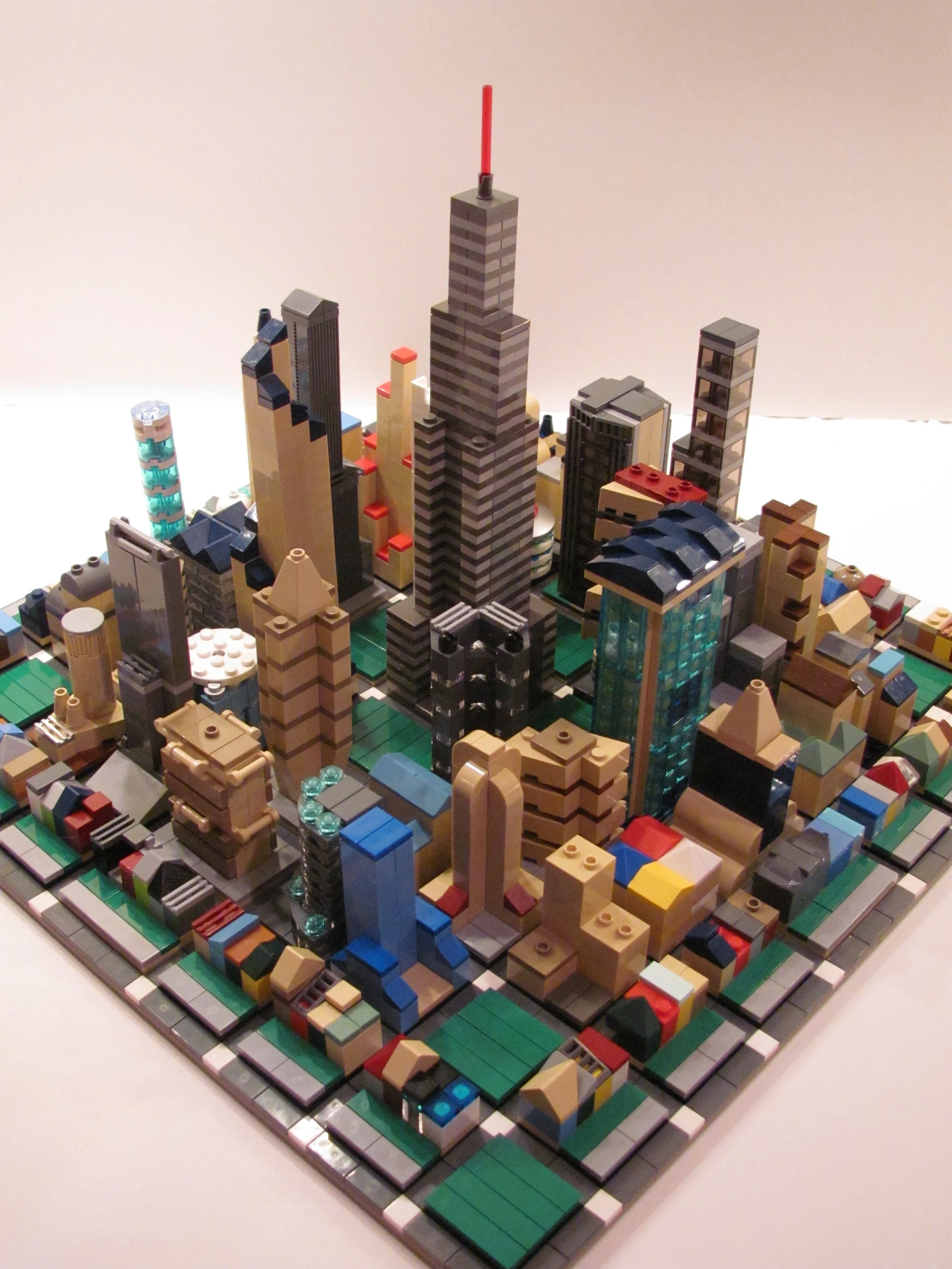
Your master’s thesis was about population density, and trying to measure density according to how much space people actually have (taking into account vertical space such as high-rises and the like). Does this pretty accurately (if reductively) capture what you tried to accomplish?
My thesis really focused on trying to understand variations in this measurement of population density and how we can map the verticality of cities and residential space. I was very pleased with the final results, which I published in Cartographic Perspectives1.
What did you learn?
I think the most valuable thing to come from the thesis is the recognition that there are multiple spaces that exist within these "taken for granted" categories. The actual living spaces in a high density neighborhood in Chicago, for example, exist on a spectrum from low-income public housing to multi-million dollar condominiums along the lakefront. Being able to cartographically pull this apart allows us to understand urban processes and politics from a more nuanced and ultimately more representative viewpoint.
A few years later you went to get your PhD in Geography at the University of Oregon. What was your favorite part about Eugene?
Eugene is great. The town has a nice pace and is extremely bike and pedestrian friendly. 150,000 people live in Eugene but in many ways it has the feel of a small town. The other great thing about Eugene is how close it is to everything. The coast and the high Cascades are both within an hour and half drive. You can find great hikes or get a boat on the river within about 15 minutes of town. And if you need a big city fix, Portland is only two hours up the road. You just need a rain jacket and some vitamin D supplements and you are in good shape.
What kind of research did you carry out in Oregon?
I kind of went in a different direction for my PhD research. I focused on designing agent-based models of transportation systems with a particular focus on pedestrians. In many transportation modeling applications, pedestrians are treated pretty much like slower moving car. By that I mean pedestrian agents in these system models often display rational behaviors, navigate with least cost path algorithms, and are fixed to the grid. In reality, pedestrian activities are much more than rational or utilitarian beings. Pedestrians are transportation units, but they are also social units with different levels of agency, motivations, and physiological/cognitive abilities. The goal of my dissertation was to create a framework to incorporate these more-than-rational and human characteristics into transportation models, which ultimately gives us a more detailed and realistic representation of the transportation systems. I am in the process now of taking the dissertation apart and turning it into three or four individual articles.
There’s lots of talk right now about millennials and living in urban spaces. We’ve seen young people flee to the city, but there’s maybe a hint of a re-entry into the suburbs. From your vantage point, where does the future of living go?
We hear so much about people moving back to the city, but those processes are very place-specific. On one hand in many cities you have a young, affluent, and predominately white population acting as a gentrifying force. You can look at the rates of rent increase in places like San Francisco, Portland, and Denver as examples of this. Ultimately, this leads to the movement out of the city for service workers, students, ethnic minorities, and young families who can't afford to live in the city any longer. Complicating this further, certain cities have political structures, zoning policies, and transportation systems that encourage these demographic shifts. If we broaden the scale to the global, processes of urbanization become very complicated. I think we really have to look at these issues from a geographic perspective to understand how place-based processes are influencing observable patterns in individual cities.
You teach a couple of cartography classes now at Humboldt State. Is this your main research area as well?
Cartography was really the reason I began studying geography, and I have always had a strong interest in design. I love teaching cartography as you really get to see each students process throughout the term. Some students have a really great eye for design, and it is amazing to watch them develop and deepen their practice through the term. Other students may not have the natural abilities in design, but if they work hard through the term there is always this moment where something clicks and their maps make a huge leap forward. I think that is my favorite part in teaching, watching those transformations. My research agenda moving forward I think continues to look at how we can incorporate a more complete representation of human agency, both in map products and more broadly in our discourses about processes. I am working now on climate change and sea level rise maps, and developing methods about how we can design these maps to tell a more meaningful and human-centered story of what is at risk as sea levels rise. A lot of maps focus on what is vulnerable in economic or geopolitical terms, which I think is one of the reasons we have a hard time understanding the impact. What if maps were able to show cultural, historical, and social vulnerability to sea level rise, to visualize more deeply and meaningfully what is at risk and what will be lost.
You’ve been generally looking at different ways to visually map information for years now. Is there a future for non-digital mapping (printed maps, for example), or do Google Maps and interactive features just have too many advantages?
I think there is a future for non-digital maps, especially for thematic mapping. There are many great examples of recent mapping projects that use human-centered to tell a story in really unique, artistic ways. Rebecca Solnit's recent work is a great example. Mobile and interactive maps are great for navigation and there are some really amazing interactive web based maps, but there will always be a place for printed material.
Tell me something about Arcata [ed.—home of Humboldt State University] that I probably don’t know.
I think almost everything I would say about Arcata most people wouldn't know. The gradient between landscapes is dramatic. From my house which is right in the middle of town, I can see the ocean in one direction and the redwood forest in the other. I can walk our dog to either in less than 10 minutes, which is crazy. Arcata is 5 hours north of SF and 7 hours south of Portland. The airport has maybe 6 flights a day and is known for being fogged in more often than not. It's about as remote as you can be in the Continental US.
You’ve lived in a lot of cool places. Which one has been your favorite for some particular reason?
I have. I have been very fortunate to live in so many amazing places. I love Durango in southwest Colorado, maybe the prettiest place in the country. Arcata is probably my favorite though, even though we have only been here a few months. There is something about the forest here that I will never be able to articulate.
Perdue, N. A. (2013). The Vertical Space Problem. Cartographic Perspectives, (74), 9-28.↩